Big Sur · Hwy 1 · Carmel → Cambria
Big Sur, driven right
The whole run on one map: 16 mapped designated turnouts with notes on what you'll find there — more added every week — the Highway 1 line itself, and the Bixby Bridge rules, with enforcement zones and plate-reader cameras one tap away.
—
designated turnouts
counting…
Drive it right
- Pull off only at the mapped turnouts — every one here is a designated pull-off, paved or hard-packed
- Shoot Bixby Bridge from Hurricane Point, the big south-side turnout
- Tap any turnout for what's there — vista, beach, trail, or food
- Fuel up before Carmel Highlands; the next real services are 60+ miles
What gets you towed
- Parking anywhere near Bixby Bridge — banned 900 ft north to 700 ft south, both sides, at all times
- Stopping in the roadway or on the bridge for a photo
- Blocking a turnout entrance while you wait for the light
- Crossing the double yellow for a turnout on the far side — go to the next one
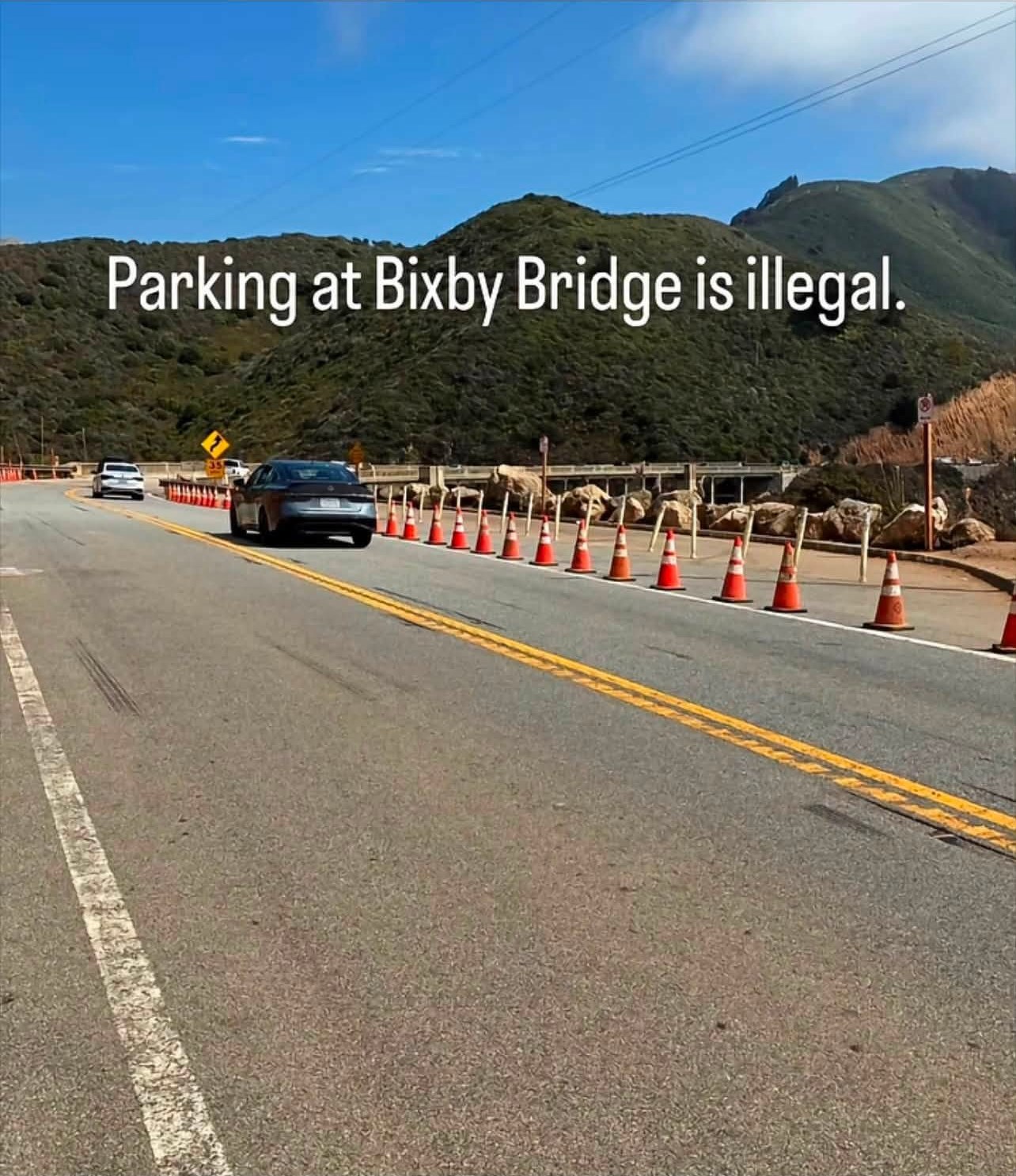
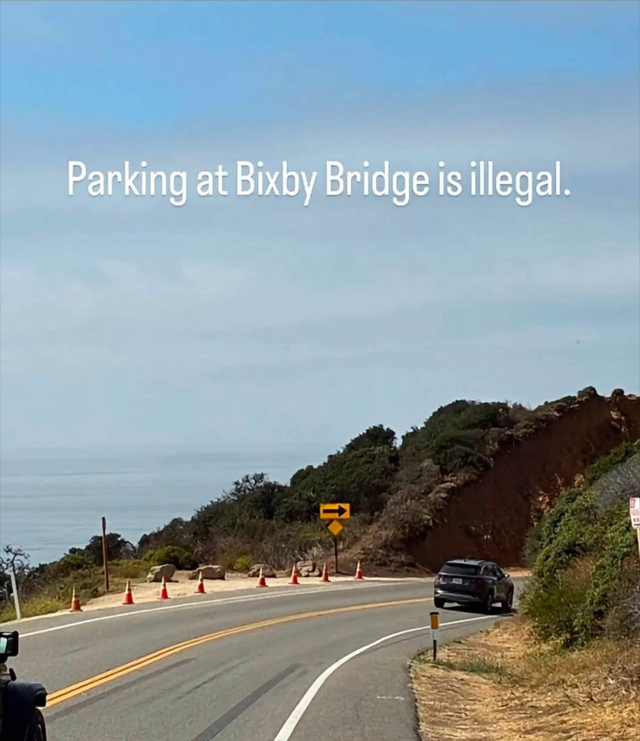
Turnout notes are ours, drive them and tell us what changed. Bixby ban extent: County of Monterey parking moratorium, through mid-2027. Enforcement + camera overlays share the enforcement map's sourced data.